By Bob Stern, University of Texas at Dallas
The geosciences are a wonderfully visual science, with erupting volcanoes, surging rivers, majestic mountains, glaciers and so much more. The promise of this visual feast is one reason that a lot of us changed our majors at university to start studying the Earth; certainly it was a major motivation for me. It would seem natural that there would be an abundance of interesting and informative videos and animations about how the Earth operates, but this is not the case today. The paucity of high-quality geoscientific videos and animations is all the more puzzling because we are increasingly inundated with videos and animations: on our TVs, at movie theatres, at ballgames, and even on the little screens on many gas station pumps. Today’s students have been raised on a steady diet of videos and animations. It’s easier today to make and share videos and animations than ever before. You can use a smart phone to make a video, and a good camera and microphone costs a few hundred dollars. Most of us have a computer that we could use to make animations and to edit videos, so cost is not a significant barrier. It’s free to post videos on YouTube so disseminating a video/animation is even cheaper than producing it. So why are there not a lot more high quality geoscientific videos and animations?
I don’t want to keep writing “geoscience video/animations” over and over again so I coin the portmanteau “geovidamation” for short. Some might object “why not call them ‘geovideos’” and the answer is that animations are too important to the product to not incorporate in the name somehow. The key role that animations play in these products is discussed further below.
People all around the world are hungry for “infotainment” about our planet and it costs next to nothing to generate videos and animations, so why aren’t we making more videos and animations that “show and tell” what we know about the Earth to our students and the larger public? This blog shares some ideas about this gap between this opportunity and the present reality. My hope is that by bringing the “geovidamation gap” to the attention of the geoscientific community that some of us will move to help fill that gap. Below I first offer a few reasons that might explain why we are presently making so few good geovidamations. Then I make the case that geoscience faculty and students working together are best suited to making the geovidamations that we need to better attract new students and teach them at the same time that we explain our science to the larger public. Next I outline what we are doing at the University of Texas at Dallas (UTD), and finally make some suggestions for building groups interested to make geovidamations in their departments.
This blog is inspired by a previous Speaking of Geoscience contribution, ‘GeoScience Videos: A Quarter of a Million Views Later’ by Jennifer Wiggen and David McConnell, Geoscience Learning Process Research Group, North Carolina State University.
Why are there so few good Geoscientific Animations and Videos?
The reader is invited to go to YouTube and search for videos on a geoscientific topic of interest and see if they agree that there are a lot of bad videos, with low science content, primitive animations, bad sound, or other serious flaws. We can and should do better than this. Why are we behind the curve here? There are many possible reasons why there are not more good geovidamations. First, we professors want to be thought of as scientists and the most important activities of scientists are concerned with planning and funding research, carrying out research, and reporting research. Generating high-quality geovidamations is not regarded as an essential geoscientific activity, as reflected by the fact that none of the “Big 3” geoscientific societies (GSA, AGU, and AAPG) offer significant awards for geovidamations. There is the NSF “Vizzies” competition but this is for all sciences and engineering, not just geosciences. This could change if funding agencies valued geovidamations as part of “broader impacts”, or if offices for major NSF geoscientific efforts like IRIS and GeoPRISMS took on this task (IRIS does this, see https://bit.ly/2rHOKx0). AAPG has recently started a video competition for student chapters, and that is a step in the right direction. Still, if making geovidamations was valued, there would surely be awards for such efforts but there are none.
A second challenge is a lack of funding for making geovidamations. This is not a big deal, it doesn’t cost much except in terms of time, although more concerted efforts and higher-quality products would follow funding.
A third challenge is finding a suitable outlet for geovidamations. Of course, YouTube is the place to post these but sharing geoscientific videos/animations on YouTube is unlikely to impress university tenure and promotion committees or NSF review panels: these want to see papers in Nature and Geology, not geovidamations on YouTube. The format provided by the normal peer-reviewed scientific journal article – essentially unchanged since the first one was published in 1655 (see Wikipedia article “Scientific journal”) is not optimal for sharing geoscientific animations and videos, and especially young faculty must publish lest they perish (not so for us oldies-but-goodies, a powerful argument for Old Professors to lead the geovidamation charge). Generating geovidamations and using these in the classroom provides ample room for research via evaluating how these help students learn and what are the best ways to use these to teach, but in this case the geovidamation has to be planned with classroom assessment in mind. It’s very possible to publish research related to geoscientific video/animations in the peer-reviewed literature but the product must be assessed in the classroom and this assessment must be highlighted in the report. We have published a paper in Geosphere (Stern, R.J. et al. 2017. A New Animation of Subduction Zone Processes Developed for the Undergraduate and Community College Audience. Geosphere) about how we made, assessed, and disseminated the “Plate Tectonic Basics 1” geovidamation. The structure of this paper may provide a useful model for others interested in generating geovidamations but concerned about whether or not this effort is likely to be regarded as “research”, specifically something geoscientific that is publishable and fundable. We probably need a new geovidamation-friendly journal.
Teams of Geoscience faculty and university students should make Geovidamations:
Conception and generation of geovidamations are best supervised by geoscience faculty. Commercial scientific media like Discovery, History, Nova, Smithsonian, National Geographic, and other “scientific” TV channels can contribute significantly, but their vidamations – in spite of generally being much longer than the ones we produce in the UTD Geoscience Studios (most of our products are 3-9 minutes long) – rarely explain geoscientific concepts to be appropriate for university classes. This is likely because their products are aimed at the general public, which has very limited geoscientific background so the product emphasizes entertainment over information; high on the “tainment” (= video) and low on the “info” (= animation), with much less development of geoscientific concepts than is needed for the classroom.
 We professors have a different set of opportunities and challenges. Our best opportunity lies in making geovidamations aimed at lower division classes, where our largest audiences are found and where we recruit our majors. Our products should aim to explain geoscientific concepts and phenomena to this audience, emphasizing information over entertainment (BUT we don’t want to bore them, we want to pique their interest to learn more on their own). This means emphasizing animation over video in our products. Animation is harder to do because the geoscientific concept to explained must be readily visualized and because generating a geoscientific animation takes longer to do than filming and editing video (as an example, take a look at our recent product “Three Great Ways to Melt the Mantle;” this geovidamation took 2 months for a talented UTD undergrad Lochlan Vaughn to pull together, mostly due to animation work).
Geoscience faculty know the Earth well enough to guide talented and motivated students to identify topics, do the essential research, and supervise student generation of storyboards, narrative texts, animations and editing. We know better than other geoexperts how to teach university students and we have talented upper division undergraduates who are eager to apply their hard-won geoscientific knowledge as part of a geovidamation team. Most students do this sort of “higher on Bloom’s pyramid” thinking via term papers (where they learn the ins and outs of plagiarism) and a bit higher up via undergraduate research and presentations at meetings, but working on a geovidamation is another outlet for their energy and burgeoning expertise. In addition, today’s university students are averse to drawing, a skill that is essential for animation. Making a geovidamation smashes student fear of drawing.
Another advantage for professor-led teams of upper division students to make geovidamations is that it is easy to come up with a topic and then work together on it. Most professors have many topics that they struggle to explain to their classes, where a few minute geovidamation would shed significant light (that was my motivation for developing “Three Great Ways to Melt the Mantle”). After several years together in classes, professors and upper division students know each other pretty well and have sufficient trust to work together efficiently. Earth events like earthquakes, volcanic eruptions, energy resources, and hurricanes also provide a constant stream of potential “eonews” topics to explore (see our geovidamations about Sinabung and Suswa) natural topics for professor-led student teams to puttogether explanatory geoscientific video/animations.
How we are making geovidamations at UT Dallas
How we make geovidamations at UT Dallas is evolving. My first effort was Plate Tectonic Basics 1, the result of a career-long interest in subduction zones and a desire to stop complaining about subduction zone animations and offer something constructive. I found a sympathetic NSF Program Manager who encouraged me to submit a small (<$50K) proposal to NSF-EHR to fund this project. These funds were used to hire talented undergraduate majors from UTD’s School of Arts Technology and Emerging Communication. The geovidamation was posted in October 2015 and now has 9,619 views and a Japanese version has 16,759 views. One of the things I learned from this effort was the importance of working with students with geoscientific knowledge and interest. The challenge is that geoscience majors generally have no training in making videos and animations and editing these into interesting and informative geovidamations.
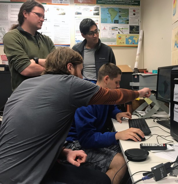
How to get geoscience upper division students “up to speed” so we could work together to make geovidamations? One key was the presence of a talented young graduate student, Mr. Ning Wang, who has a gift for making geovidamations. With Ning’s help, I decided to teach a 3-hour upper division Geoscience elective “Geoscience Animations and Videos”, beginning in Spring 2017. This semester I had 3 students in this project-oriented course. Project 1 was a 2-3 page research paper with references about the geoscientific process that the student wants to tackle. This paper provided the scientific basis for the student to develop a rough storyboard, which was due in mid-February. Project 2 forced students to acquaint themselves with a video camera and sound, with a 1-2 minute video about chosen topic due at the end of February. Project 3 was a draft narration, typically 1 page (single-spaced) for a 3 minute video/animation, due in early March. Project 4 was a 1-2 minute animation about the chosen topic, due at the end of March. Project 5 was the final project, a ~3 minute long hybrid geovidamation, accompanied by final storyboard, final supporting research paper, and final narration text, due at the end of the semester. For much of the semester, classes basically consist of me asking them “what have you done since last class and can you show it to me?” Ning and 2 students from the previous year’s class helped the 3 neophytes. The 3 students would take turns showing me what they have done and get feedback from me and other students. The hardest part for all of them was making animations; it is my experience that today’s students have a fear of sketches and figures.
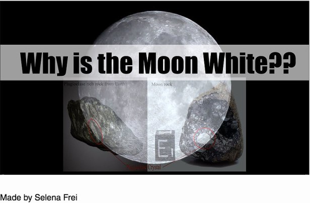
This semester the class made 3 videos: 1) Why is the moon white?
2) Why do you fear atomic bombs but don’t believe the Earth is 4.6 billion years old? 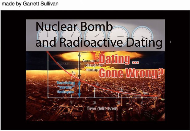 And 3) why haven’t we drilled to the Moho yet?
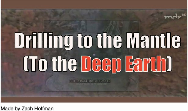
Each of these geovidamations is a little over 3 minutes long. To make them, each of the students had to dig deeper into our science to pull their stories together than they generally do in undergraduate classes, and find a way to tell the story clearly and simply, with as little jargon as possible. Each of them now has a new skill – making a geovidamation – that they didn’t have at the beginning of the semester. You can find and view these student geovidamations here.
How do we build a community of geoscientists who can make more of the geovidamation that we need? Slowly but surely we can do this if we start. At UTD, we are adding a few new student “geovidamators” every year. We build awareness of our activities by having a small video/animation festival at the end of April; this year we showed 14 geovidamations ranging from 2 min 10 sec to 8 min 45 secs involving 9 geoscience students at our 1-hour long festival. The “sweet spot” for our products seems to be about 3 minutes long. I’m already looking forward to what we come up with for the Third Annual UTD Geo-Video Festival.
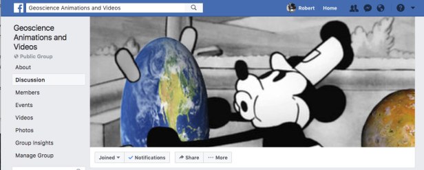
How can we get similar efforts started at other universities? We need more funding, outlets and awards. Those things will take some time to accomplish. In the meantime, UTD Geoscience Studios will continue to generate and post short geovidamations on the GSS site and on YouTube. We also keep up a Facebook Group “Geoscience Animations and Videos” which anyone can join.
GSA’s Member Community Open Forum is a great place to advertise our geovidamations, as is AGU Member Community Digest. Jeff Ryan (University of South Florida) and I are convening topical session, “T70. Geoscience Animations and Videos As Tools for Learning: Using Them in the Classroom, Making Them, and Assessing Their Impact” at the 2018 GSA Annual Meeting in Indianapolis this November. Please consider submitting something to this session and plan to sit in on what promises to be a very informative and entertaining session!

Thanks for the kind words! All of our geovidamations can be found on https://utdgss2016.wixsite.com/utdgss . When we make new ones I post info on GSA community and AGU member community as well.
Wow! I have struggled to find good animations for the 20-some years I’ve been teaching introductory geology at a community college. Pearson makes some adequate animations, but you have to use their book to access them. I just stumbled on this blog, and your Plate Tectonics Basics 1 is now loaded into my online courses, and I’ll be using it in class. If you continue to create these, I hope you’ll find a way to let all of us teaching know about them.