by Dean Moosavi, Education Programs Coordinator at the Geological Society of America
We just passed the early registration deadline for GSA’s summer 2018 workshops so it seems like a good time to share a bit of what we have planned. This post will focus on our exciting debut workshop in GSA’s home state, Geology of Colorado: The Central Front Range. This workshop will be based out of the University of Colorado-Colorado Springs (UCCS) and is scheduled to run from noon on Monday, 30 July to noon on Friday, 03 August.
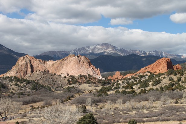
The field focus of this workshop stretches across El Paso and Teller Counties and explores the geology of the Central Front Range and adjacent areas of Pikes Peak country that were so essential to the development of Colorado from a territory into the 38th state in 1876. Over the course of the workshop participants will explore over 1 billion years of geologic history from mountain uplift, catastrophic volcanism, massive erosion producing muddy coastal plains and the important role of climate change in morphing Colorado from a land of deserts to a land of swamps, from tropical heat to potentially globe-spanning glaciation.
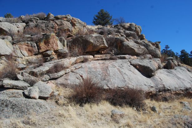
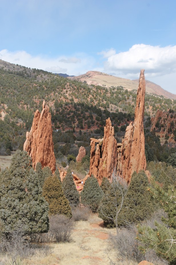
The first day of field trips will focus on the geologic transition from the Great Plains to the Rocky Mountains. We will see evidence of ancient volcanism in the Ancestral Rockies and how the remnants of their erosion created coastal conglomerate, sand and mud deposits along the shores of the Western Interior Seaway, an environment that supported a diverse dinosaur population. We will see how those flat-lying sedimentary rocks were uplifted and tilted by the Laramide Orogeny to create the classic hogbacks and ridge lines for which the Front Range is famous. Our explorations of the Garden of the Gods will include the use of Brunton compasses to demonstrate a quantitative exercise teachers can adapt for their classrooms for use in understanding how flat lying sedimentary layers became the iconic landscape which makes the Garden of the Gods the number two urban park in the world. We will extend our work to explore traces of the Ute Pass fault and the Great Unconformity separating the Paleozoic rocks of the Front Range and the Precambrian gneisses and granites which make up Pikes Peak. For a special treat, we will take a little hike up the side of Cheyenne Canyon to visit a suite of rocks actively being researched for the clues they hold about a global glaciation known as Snowball Earth.
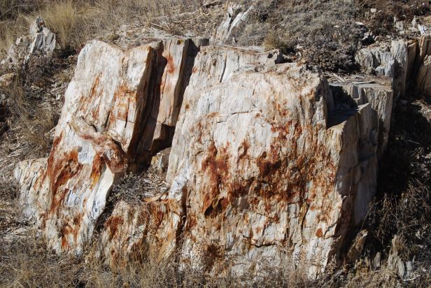
The second day of field trips will take us up to approximately 10,000 feet in elevation to explore the Colorado of the Eocene period. Beginning at Florissant National Monument, participants will explore a paleo-landscape more reminiscent of the California Coast than the land of ski bums! We will visit the fossilized remnants of a massive redwood forest and learn about how this forest met its catastrophic end in a fashion reminiscent of areas of Washington State flatted by the eruption of Mount St. Helens. Working with monument staff, participants will explore how the formation of a lake after the eruption created ideal conditions to preserve delicate fossils of leaves and insects. These fossils give scientists an unparalleled window into the flora and fauna of Colorado of the time and allow for reconstruction of the local climate with techniques and exercises that can be used in a K-12 classroom. Participants will have an opportunity to split rock and collect samples for classroom use and will also visit sites that provide evidence of the forces that destroyed and ultimately entombed the Florissant forest and lake until modern erosion revealed them for us.
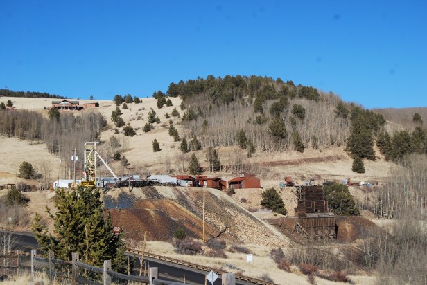
The third day of field trips will focus on how the geologic wealth of the Cripple Creek region was created and became a significant influence on the development of Colorado as a major mining state. Participants will be afforded an opportunity to explore 18th and 19th century mining operations and contrast them with processes used today in our more environmentally-conscious and technologically-sophisticated era. Be prepared to “drift” along 1,000 feet below ground!
When not in the field, participants and instructors will stay in single dorm rooms arranged in suites at the UCCS. Meals not taken as bag lunches on the road will be served in the campus dining halls. We have also built in time for short courses and keynote addresses on a variety of topics relevant to K-12 geoscience education. The details of our keynote address and short course topics are still in development but look to include place-based education, rock and mineral identification, an activity that connects rock identification with the rock cycle and plate tectonics and use of geodesy in the geosciences. Details will be added to the GeoTeachers webpage as they become available. Remember, registration closes on Monday, 18 June so sign up soon to join this exciting field workshop!
Dean Moosavi is the Education Programs Coordinator at the Geological Society of America based in Boulder, Colorado, smoosavi@geosociety.org. He has served as a lake surveyor, K-12 teacher and geoscience educator at all levels of academia. His teaching and research focus include place-based education, pre and in-service K-12 teacher training, coastal geomorphology and boreal/arctic biogeochemistry. Dean served as a volunteer with the Minnesota Mineral Education Workshop for 17 years before coming to GSA.
