
I am Khadijah Audu, a PhD student in the geosciences at the University of Arkansas, where I specialize in remote sensing and GIS applications for multi-hazard assessment and environmental resilience. This October, I had the incredible privilege of attending my first-ever Geological Society of America (GSA) Connects meeting in San Antonio, Texas, USA, thanks to the On To the Future® (OTF) program. The OTF award not only made this milestone possible but also opened the door to meaningful mentorship, collaboration, and personal growth within the geoscience community.
From the moment I arrived, the atmosphere was filled with energy and curiosity, with hundreds of scientists, educators, and students coming together to share discoveries and discuss solutions to today’s most pressing geoscience challenges. As part of the 2025 OTF cohort, I participated in professional development workshops, networking sessions, and small group discussions that fostered a sense of belonging and inclusion. I was particularly inspired by conversations on broadening participation in geoscience and empowering early career researchers from underrepresented backgrounds.
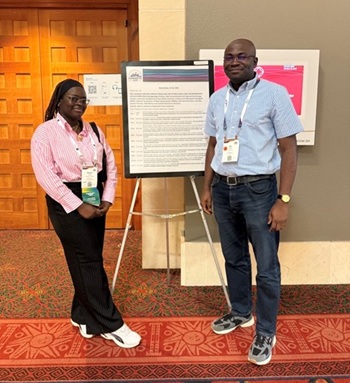
A highlight of my GSA Connects experience was serving as a judge for the Geoinformatics and Data Science Student Poster Competition. Evaluating student presentations allowed me to witness innovative applications of geographic information science, Geo-AI, and remote sensing across diverse fields from flood hazard mapping to groundwater monitoring. It was both humbling and motivating to see how emerging scientists are advancing the use of spatial technologies to solve real-world problems. I also met several mentors whose advice continues to guide my academic path, especially in refining my research focus and communicating its broader impact.
The meeting reinforced the relevance of my ongoing research, which explores how drought, vegetation stress, and land degradation interact to shape ecosystem vulnerability in the western United States. By integrating satellite-based remote sensing, Interferometric Synthetic Aperture Radar (InSAR) deformation data, and GIS-based predictive modeling, my goal is to develop tools that can support early warning systems and sustainable land management in regions affected by land disturbances and climate extremes. Engaging with other geoscientists working on hazard monitoring and resilience planning expanded my perspective on how interdisciplinary collaborations can strengthen climate adaptation strategies. Beyond the technical sessions, the conference served as a space for reflection and connection. The OTF program created a supportive environment where I could share my story as an international student and learn from others navigating similar paths. It was empowering to see representation and mentorship in action and to know that I am part of a community working collectively toward a more inclusive and innovative geoscience future.
As I reflect on this transformative experience, I am filled with gratitude for the GSA OTF program for investing in students like me. The connections I made and the lessons I learned in San Antonio will continue to shape my journey as a researcher, mentor, and advocate for diversity in geosciences. This experience has strengthened my commitment to using geospatial science to advance resilience and sustainability in our changing world.
